

Comment
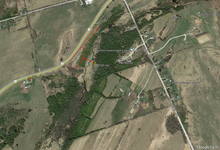
I just want to submit another comment regarding the new proposed changes - I've attached the Legacy Pit map of our neighbourhood that I received from TOARC ( https://toarc.com/). You will see that a large swath of seventh line and County Rd. 4 has been extracted. These are legacy pits from prior to 1990, when the Aggregate Act was put in place. The one on my property at 380 Douro Seventh Line was closed in 1979 for example. All of this land has been extracted of soil. I'm not sure what data is being used to justify the changes, however I believe it may have something to do with provincial data from the time of Jeff Leal being Agriculture minister, and it is sorely inaccurate for our area. When we went through the rehabilitation of our pit, the workable soil was in the negative. Based on the proposed changes to the Provincial Policy, since there are no farming facilities on the land, we would not be permitted to sever a residential lot, even though a working farm with workable land would be. The misallocation of Prime Agricultural to many of these properties is limiting the use of land that is already severely limited due to historical factors, and is not being accurately mapped (the Provincial mapping for Aggregate resources also shows that there are still gravel deposits - this is not the case, the areas were just extracted before the time of the Act, so never updated). Please consider removing the Prime Agricultural designation from this area.
Supporting documents
Supporting links
Submitted July 18, 2023 8:45 AM
Comment on
County of Peterborough - Approval of a municipality’s official plan
ERO number
019-5908
Comment ID
91971
Commenting on behalf of
Comment status